The Palos Verdes Peninsula rises above the South Bay of Los Angeles County and is made up of four cities: Rancho Palos Verdes, Palos Verdes Estates, Rolling Hills and Rolling Hills Estates. It features conservancy managed trails, scenic cliffside trails, tidepools, nature walks and beautiful beaches. Since building is tightly regulated, open space is effectively preserved, avoiding overdevelopment.
We started early morning nearby the Port of Los Angeles and kept going into the night; it was a very long day might I add. I didn’t as much mind the weird tan lines, the weather changes on you so fast that you have to dress in layers, but it was the fact that by night time we were utterly exhausted – some of the trails were pretty steep and at some point by sundown we were pushing each other going up the trails. Nevertheless, I would do it all over again. There is something to do for everyone, whether you are into strenuous hikes, nature walks or cycling. This list by EveryTrail guides shows the most popular hiking routes based on user reviews, votes, and mobile downloads. You can also download trail maps here.
It was equally fun going over the photos a week later, all 1,054 of them – who can blame a girl, the views were breathtaking, you just had to be there. Don’t worry, I narrowed it down to 72 photos and then rounded it up to 5o photos. I did spend quite a bit of time prepping photos for this post, but music was playing in the background and I was having a blast. So today, I decided to include a sample of the playlist I was listening to.
For track info, click SHOW PLAYLIST on the left. You can adjust the sound by clicking the volume icon on the right.
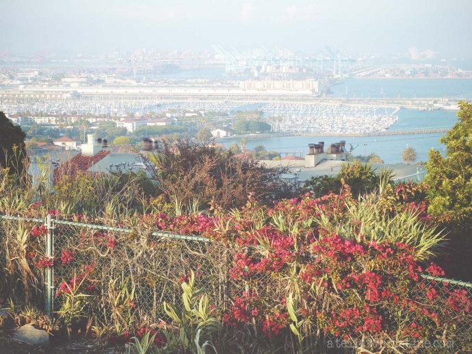
The Port of Los Angeles on San Pedro Bay.
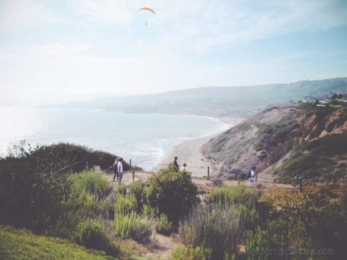
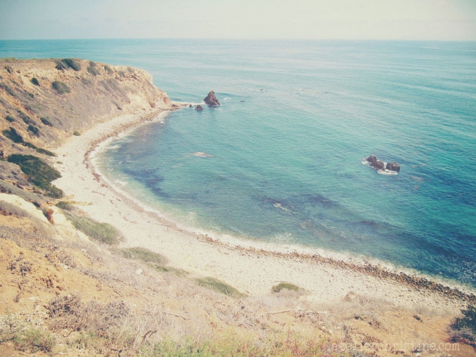
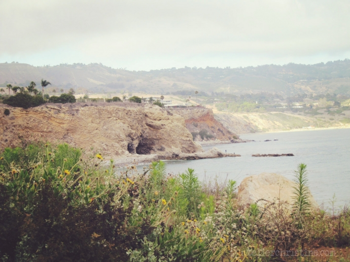
View from Hawthorne Blvd. Vista Point. Starting at the bottom: Abalone Cove, Portuguese Point, Sacred Smuggler’s Cove, Inspiration Point, Portuguese Bend Cove and Halfway Point.
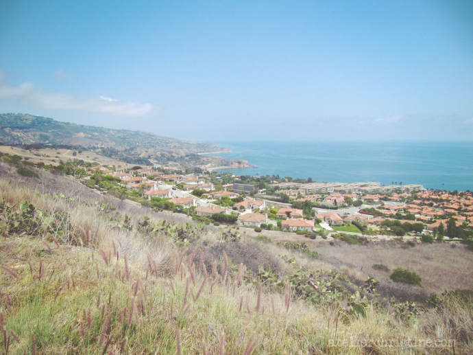
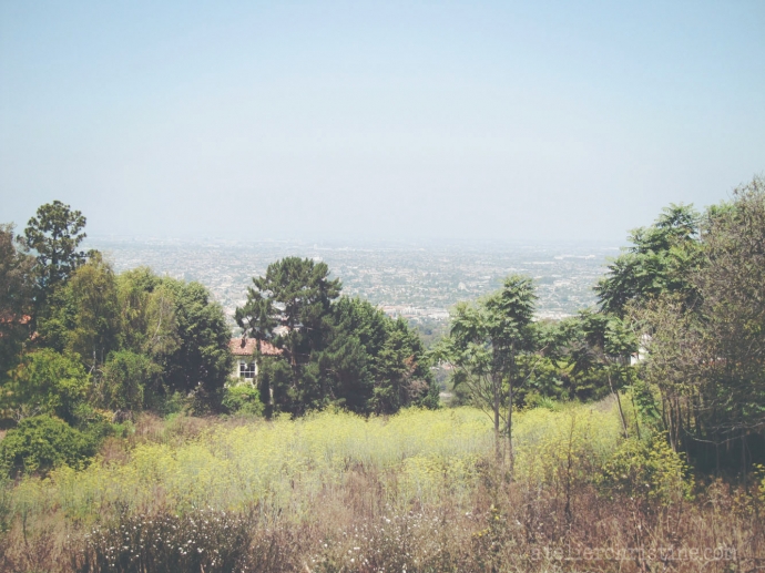
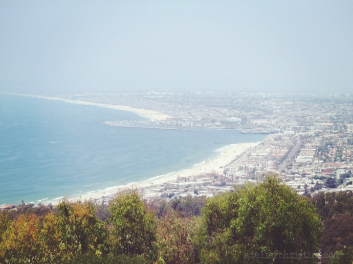
View from Granvia Altamira.
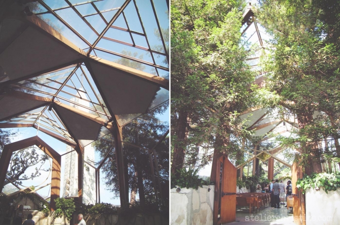
Wayfarers’ Chapel, in the Portuguese Bend, is a “Natural Church” designed by Lloyd Wright. It was built by the Churches of the New Jerusalem in 1951 as a national monument to Emanuel Swedenborg, an eighteenth-century mystic. The structure is virtually all glass, hidden in a grove of coastal redwoods overlooking the Pacific Ocean – creating a fairy-tale natural beauty.
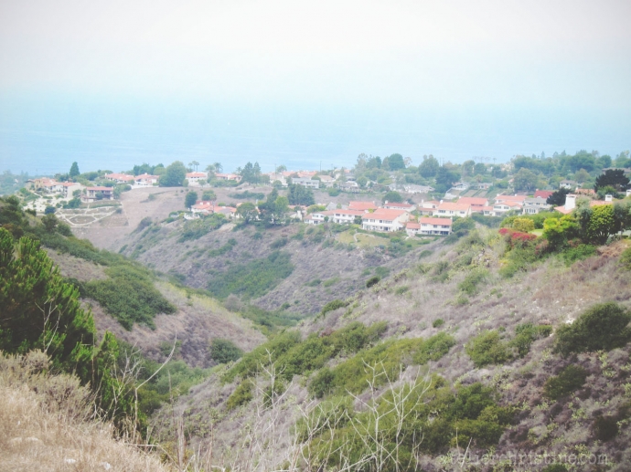
Portuguese Bend Reserve, 399 acres, 5 canyons.
Malaga Cove, the first beach on the Peninsula, is best known for its dramatic Queen’s necklace views that can be enjoyed throughout the neighborhood. Pirates of the Caribbean films were partly photographed on and off the coast of Palos Verdes Peninsula. A tent city for production was constructed in the Redondo Beach Marina.
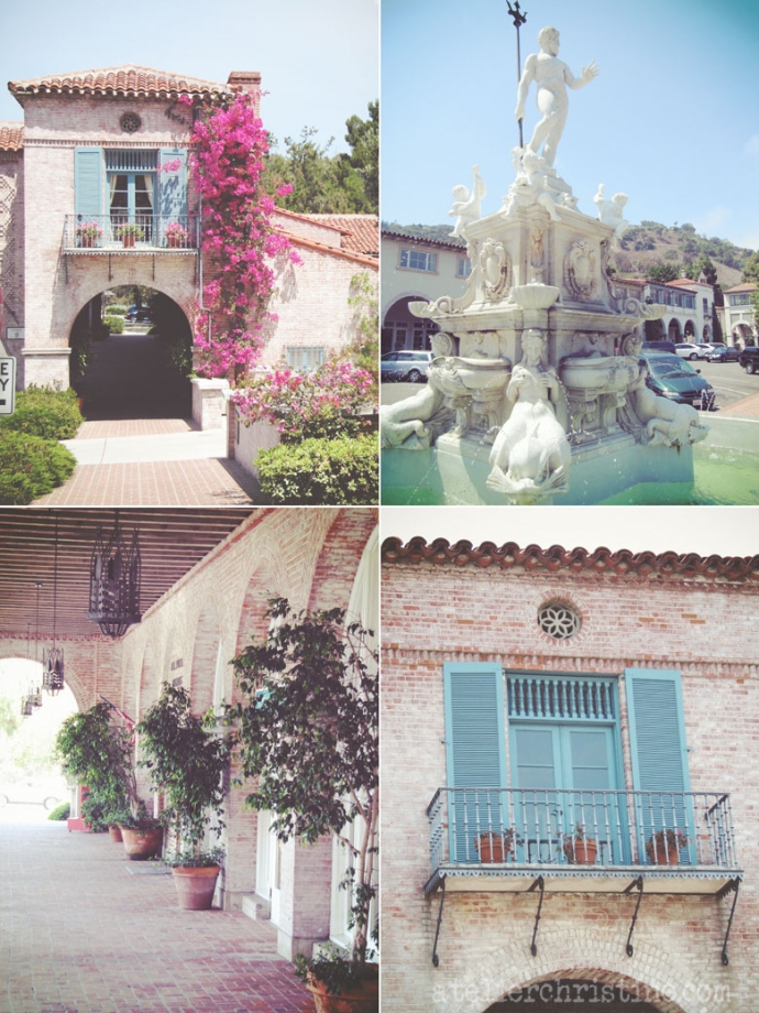
In Malaga Cove Plaza, the peninsula’s first commercial area, buildings maintain an “old world” charm with a Mediterranean motif. The Sally Port Archway across via Chico of the Alpha Syndicate Building is also known as Casa Del Portal. Neptune Fountain, a 2/3 replica of the bronze Neptune fountain in Bologna Italy, is the centerpiece of the Plaza.
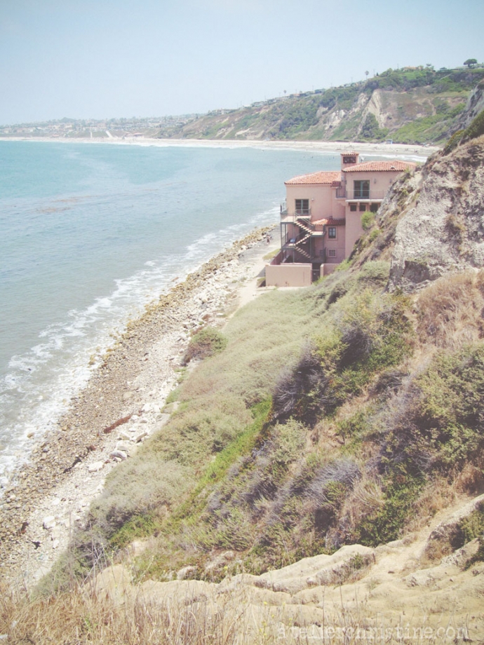
Malaga Cove Cliffside, RAT Beach and the only shore house.
Lunada Bay, one of the premier big wave spots in Cali, is best known for its intimidating size; a coast that can handle large northern swells up to 20 feet.
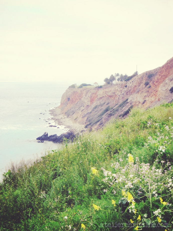
Point Vicente lighthouse.
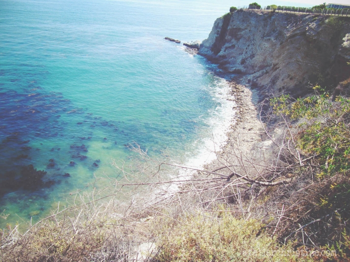
Golden Cove.
Fisherman’s Cove.
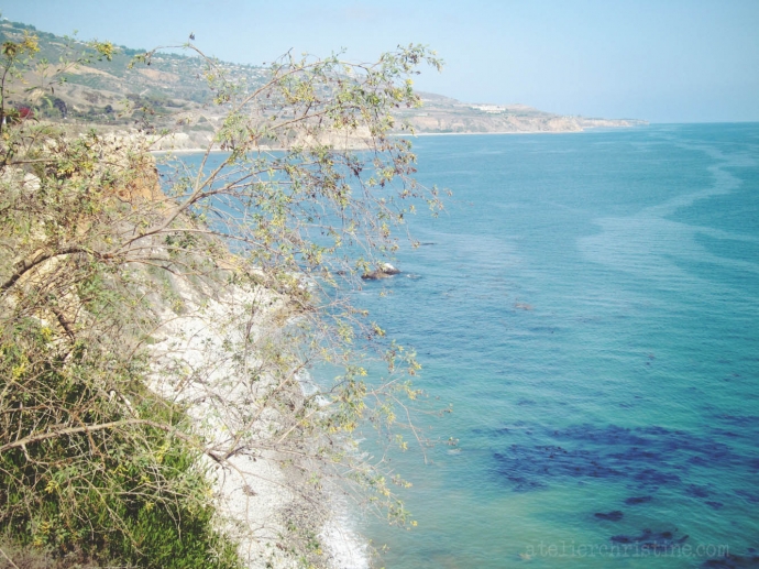
Long Point.
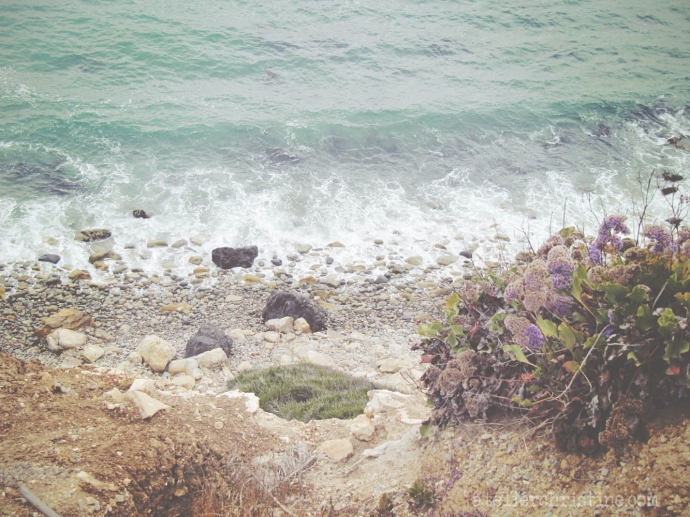
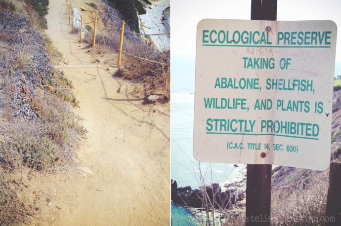
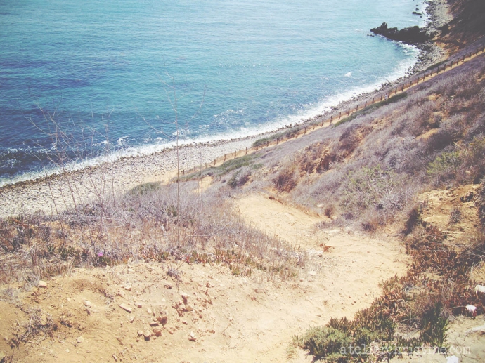
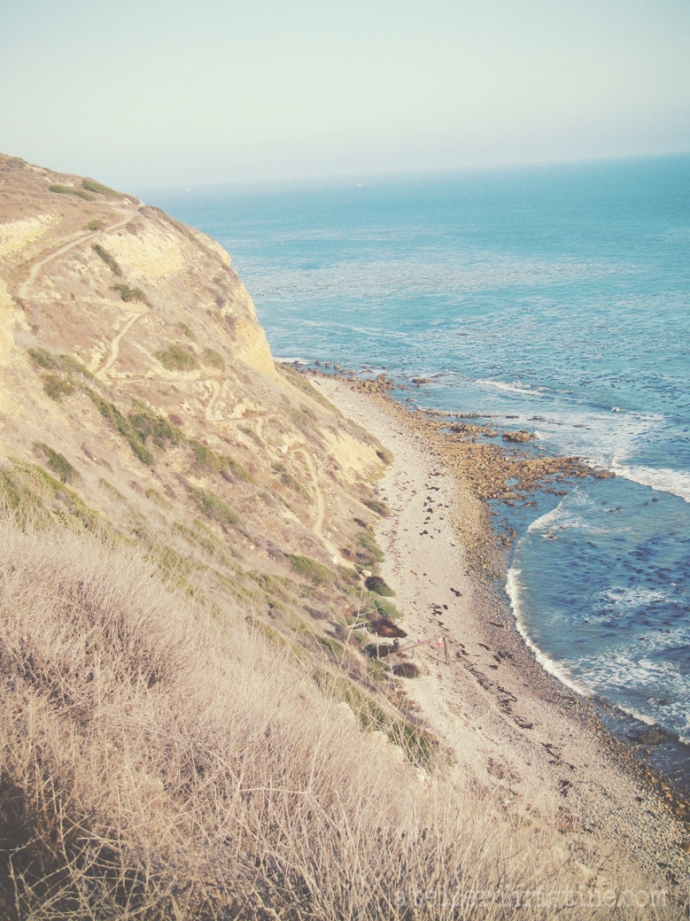
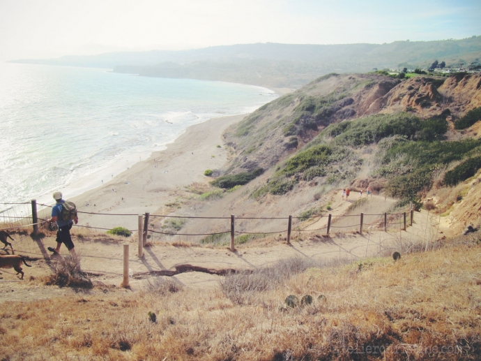
Trails going down to the beach.
Beginning of Abalone Cove.
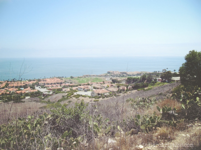
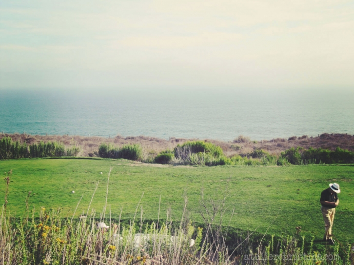
Donald Trump National Golf Club. The Golf Course has incredible views from all of its 18 holes.
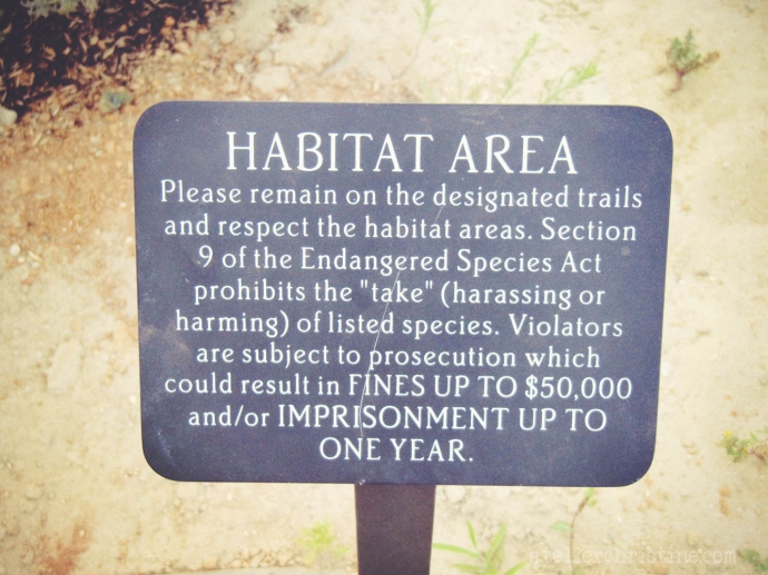
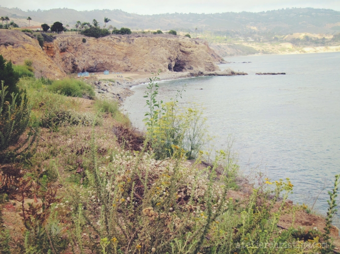
Ocean Trails Ecological Reserve include habitat areas preserved by Trump National Golf Course.
Trails going down to the beach.
San Pedro Channel.
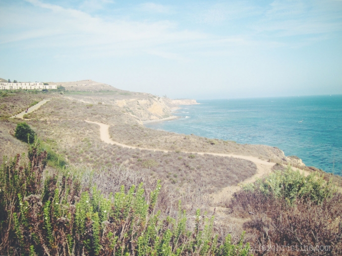
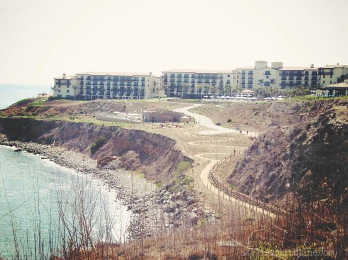
Terranea Resort from a distance, a large-scale oceanfront resort along Los Angeles County’s 75-mile coastline.
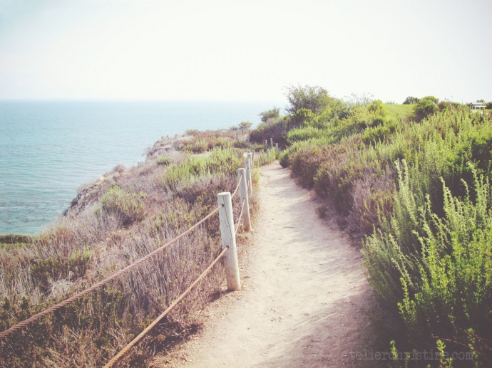
Discovery trails around and through the resort.
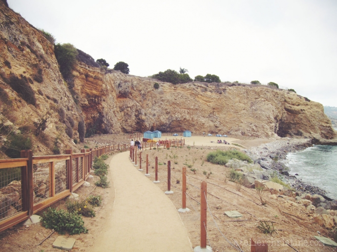
Very well maintained and easier trails down to the private beach cove that was filled with sand to resemble a beach.
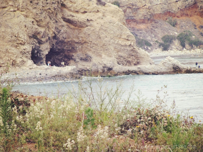
This was the cave used in Charlie’s Angels, the movie.
Royal Palms Beach, a rocky shoreline with deeper water for snorkeling.
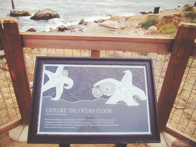
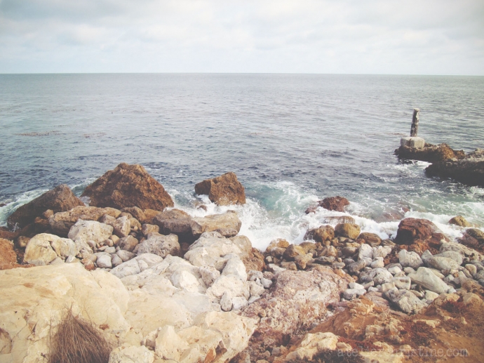
At White Point, boulders line the shore and surround the ruins of mineral baths. An earthquake has closed the warm-water vent and there are tidepools among the rocks and ruins once you climb over the boulders.
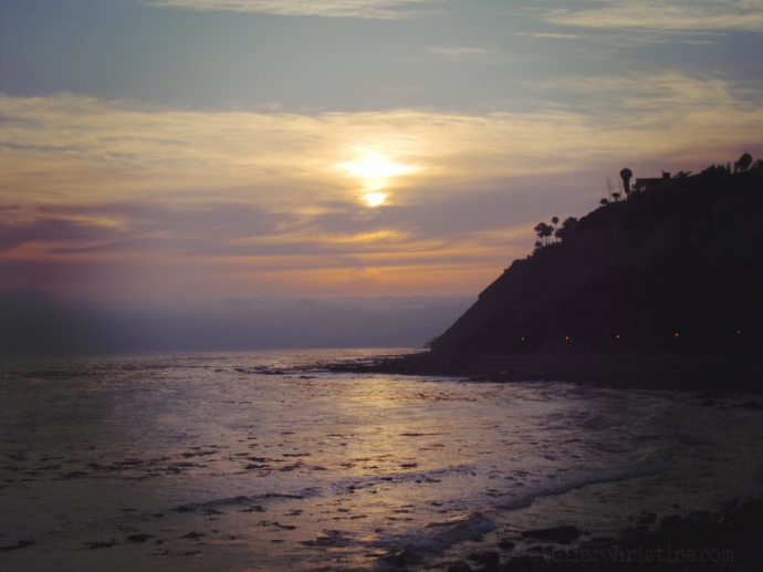
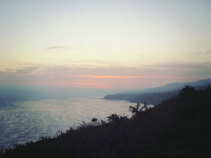
Sunset on the beach.
… and the sun sets down, time to start heading back.



Recent Comments